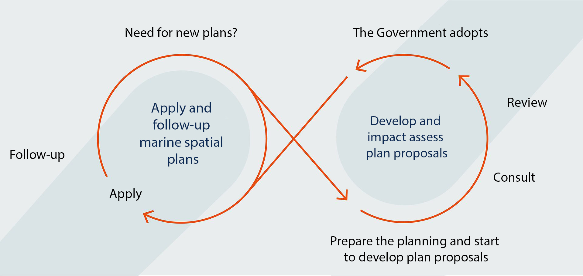
The marine spatial planning process
Marine spatial planning is a recurring process that runs in cycles over several years. Through a number of steps, marine spatial planning goes from collecting information and analyzing the current situation, trends and goals to decisions on spatial and temporal conditions regarding the use of Sweden’s marine areas.